Active grazing
Cattle in the treatment area
Managed animal movement applies grazing pressure where it supports the agreed objective.
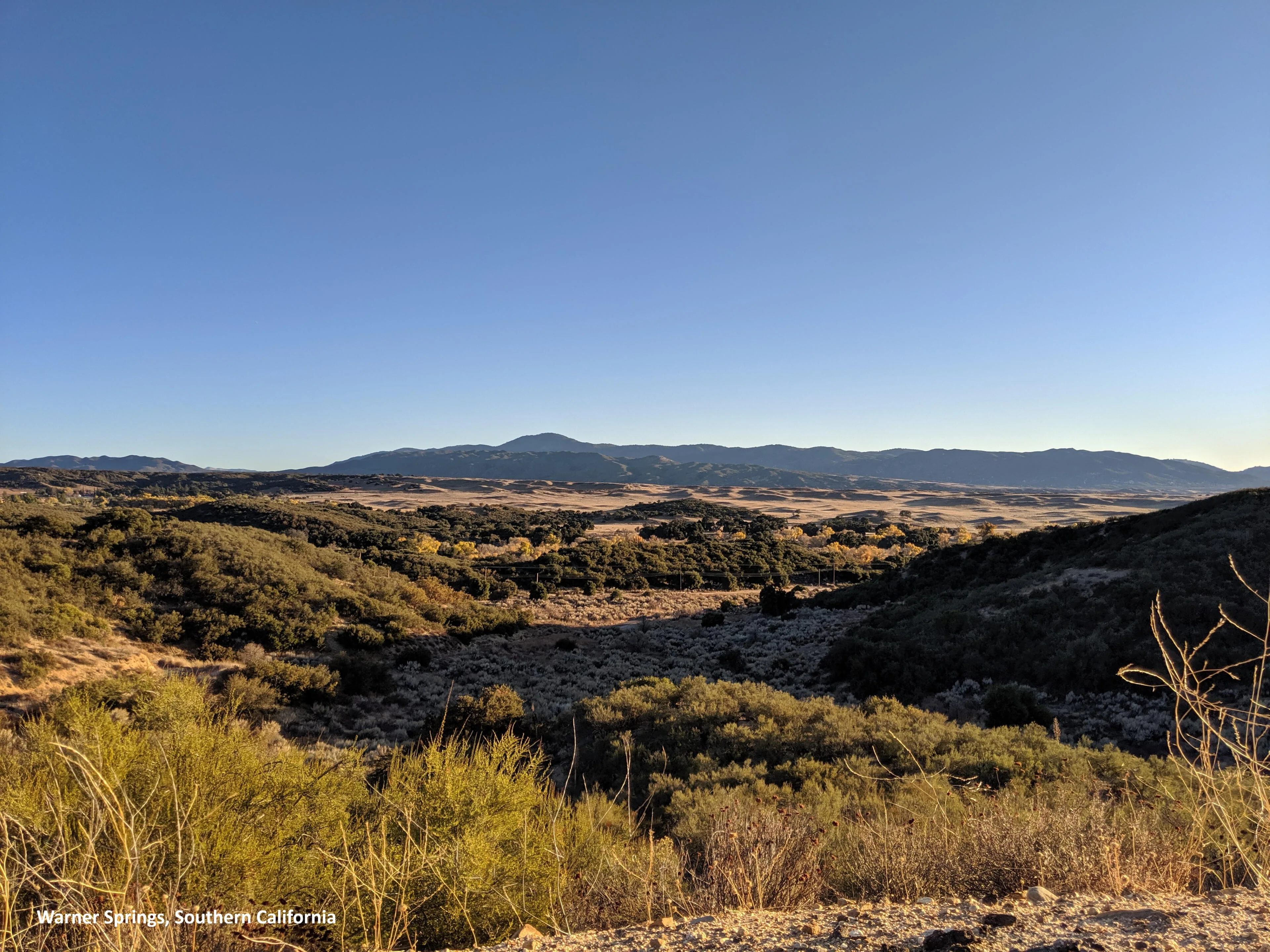
Wildfires are dangerous, expensive and difficult to mitigate across large landscapes.
We provide a scalable, site-led solution for broad-acre fuel mitigation, habitat management and regenerative landscape stewardship.
Wildfires routinely cross or spot over fuel breaks, particularly under wind-driven conditions. When treatments are limited to isolated strips and small areas, large stretches of continuous fuel remain between them.
We use cattle and adaptive grazing management to reduce grazeable fine fuels, shape strategic fuel breaks and support land-management goals. Treatment plans adapt to site priorities, seasons, access, water and sensitive resources.
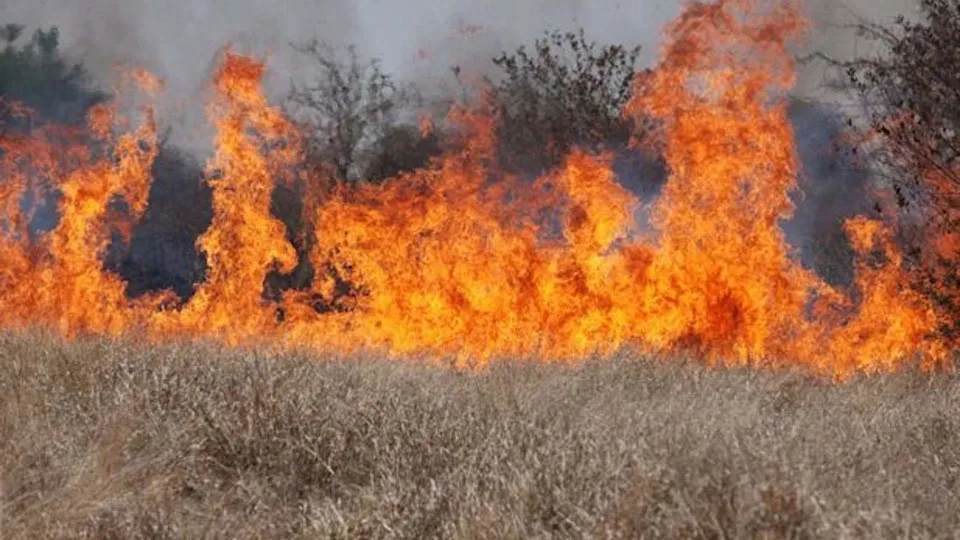
We match animal numbers, grazing intensity and timing to the site and the result you want. Temporary or virtual fencing can support flexible containment and movement.
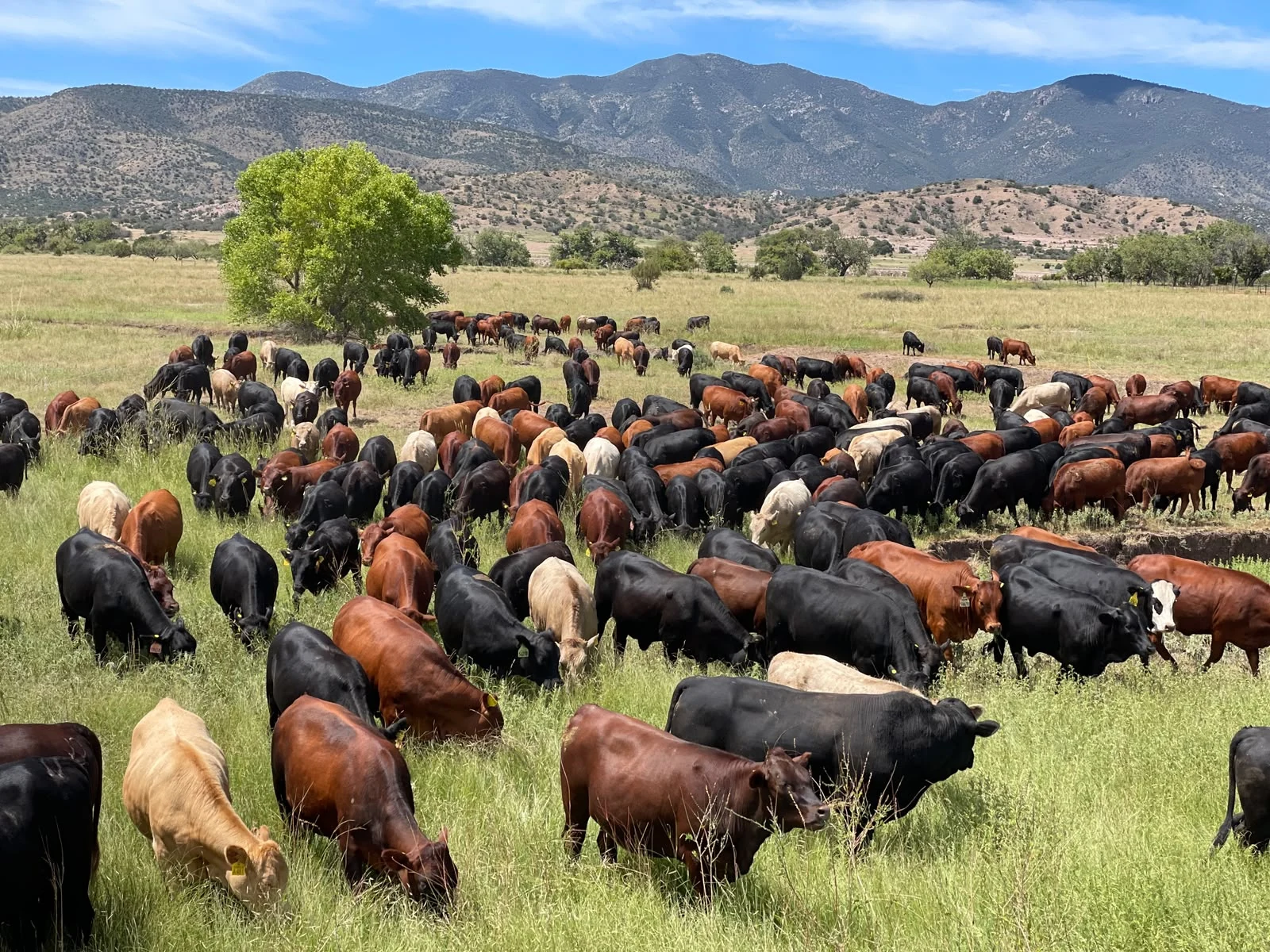
We get on the same page about your landscape goals, then map priorities, access, water and sensitive resources together.
Agree on seasonal timing, cattle numbers, paddock size, moves and target outcomes.
Adjust daily or weekly as conditions change. Monitor forage use, animal impact and site constraints.
Document activity and assess agreed indicators with maps, photographs and repeat measurements.
Grazing programs are tailored to vegetation objectives, site conditions and project goals. We define what success looks like together, then document the work.
Actual utilization depends on forage, season, terrain, animal class, duration and site constraints.
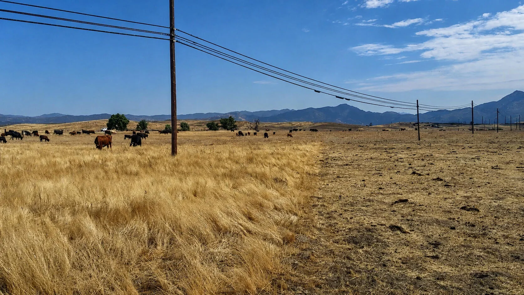 Standing forageGrazed strip
Every property has different needs. We listen, communicate clearly and adapt grazing plans to solve the challenges that matter to you. The right treatment can combine fuel reduction with habitat, access and longer-term stewardship priorities.
Let's take a walk →Cattle are moved from one temporary electric or virtual fence paddock to another regularly. This level of control allows us to manage grazing behaviour and parameters to meet your objectives.
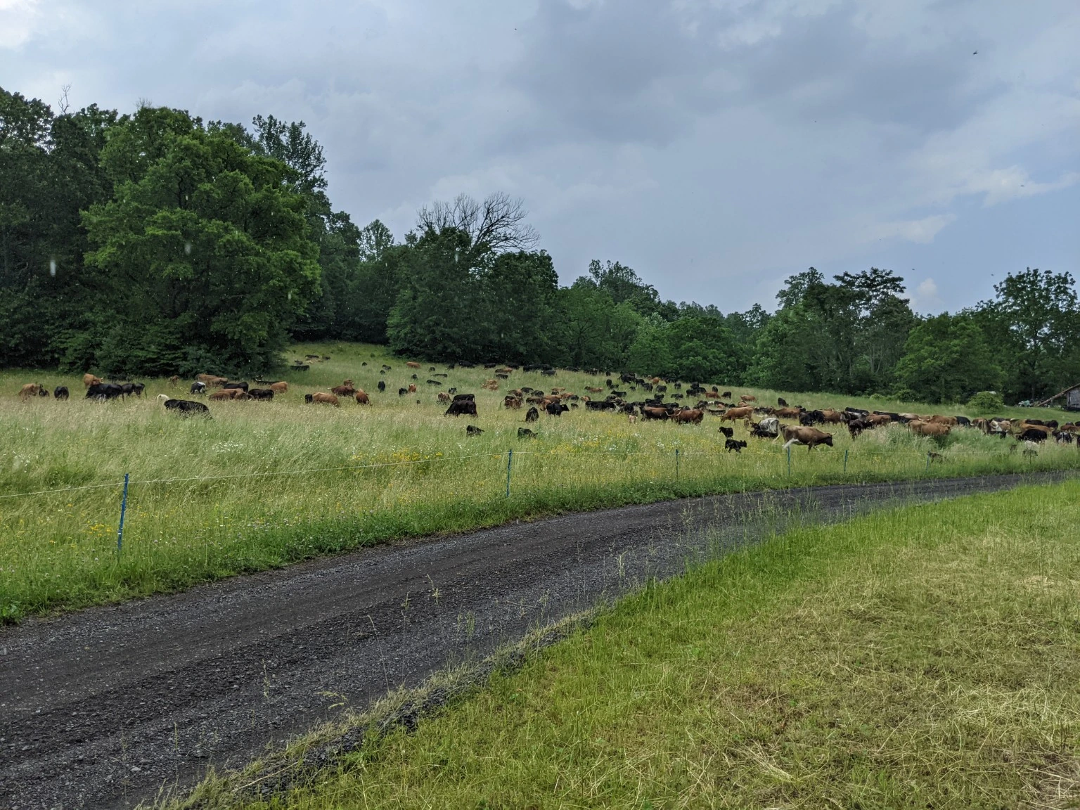
Halter combines GPS-enabled collars with a mobile app to draw virtual boundaries, move cattle and review grazing activity. Where the site and grazing plan call for it, virtual fencing can give managers more flexibility in directing cattle.
Explore Halter ↗Halter is a third-party technology option. WRS assesses fit alongside site goals, terrain, water, animal care and operating needs.
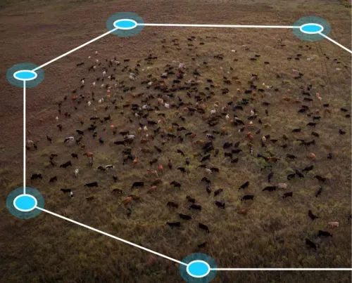
Photos and maps help show where grazing happened and how treatment areas compare. Each project page can grow into a fuller case study as monitoring data and land-manager approval become available.
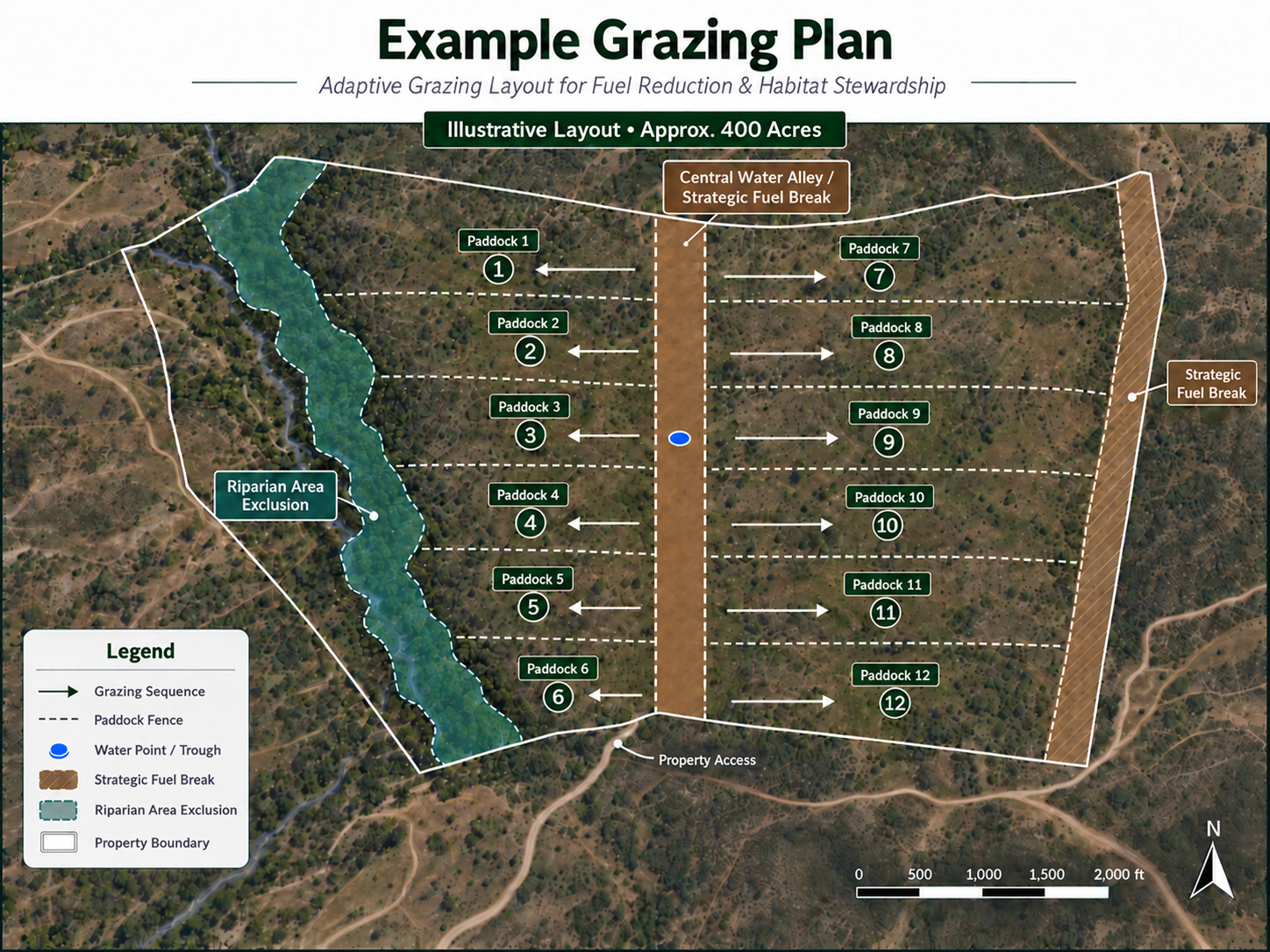
A grazing plan can translate landscape priorities into paddocks, water access, moves and monitoring points. The plan is refined with site staff as access and conditions are confirmed.
Managed animal movement applies grazing pressure where it supports the agreed objective.
Terrain, vegetation and access shape the treatment plan from the start.
Use repeat viewpoints and agreed indicators to describe what changed on site.
Explore how fire behavior, fuels and grazing intersect.
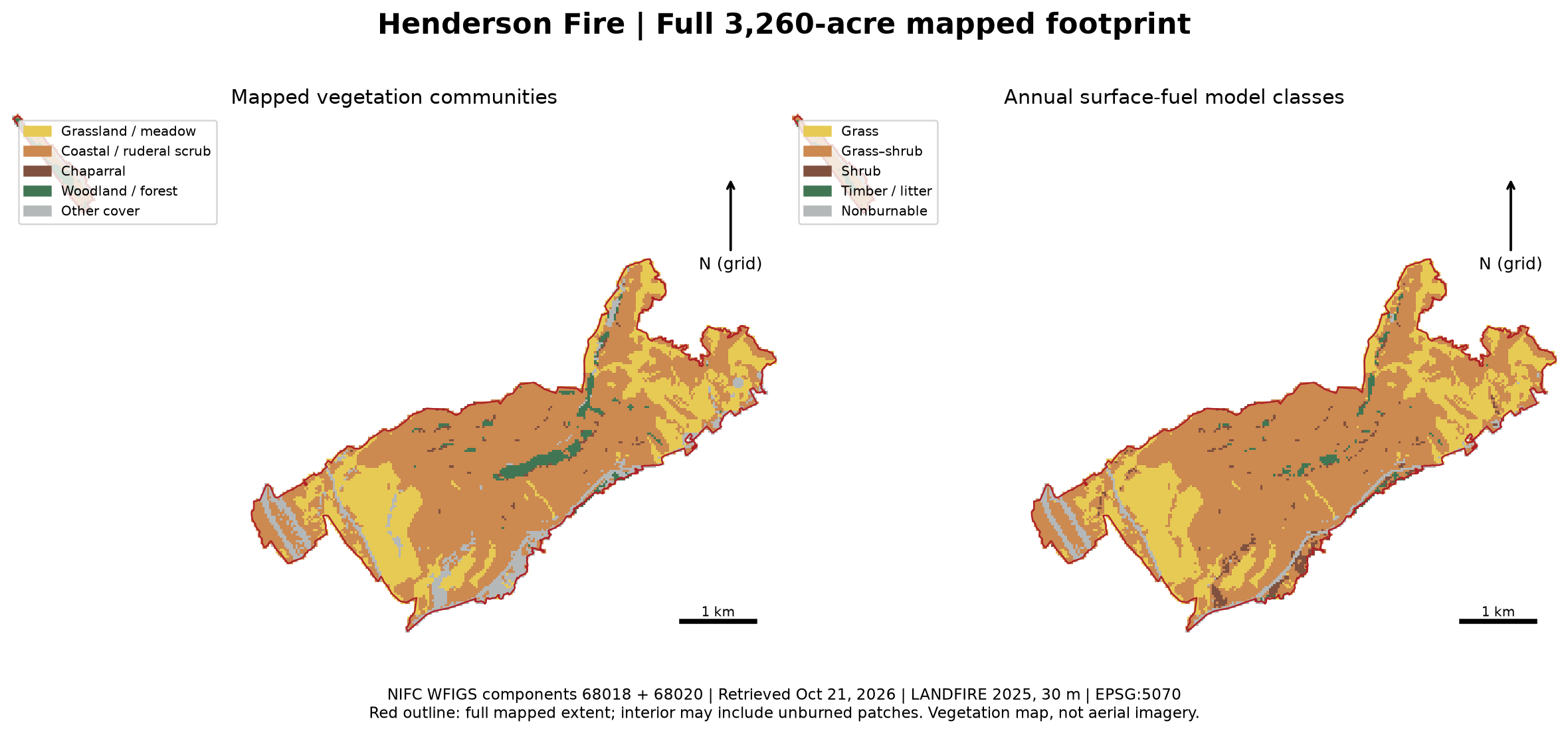 Henderson Fire · Fuel assessment
Grasses and other nonwoody plants account for an estimated 29–37% of modeled pre-fire surface-fuel weight. About 60–64% of that herbaceous mass lies outside mapped grassland—highlighting why grazing assessments should include grass-rich openings within scrub.
A preliminary screening study; the share cattle could remove requires field assessment.
CAL FIRE Battalion Chief Marshall Turbeville describes seeing fires stop at grazed fence lines and says grazing was the difference.
Explore examples from practitioners applying grazing to different landscape goals. The projects shown here use site-specific methods; results vary by place.
Photo-led field stories explore perennial grasses, plant succession and vegetation change on a Chihuahuan Desert ranch.
Explore field stories ↗A 6,800-acre working cattle ranch in California demonstrates conservation ranching across grassland, oak woodland, wetland and chaparral habitats.
Visit Bobcat Ranch ↗A community-supported grazing program serving fuel reduction, vegetation management and ecosystem enhancement in the Ojai Valley and Ventura River watershed.
Explore the program ↗Research helps set realistic expectations. Results vary with vegetation, grazing timing, intensity, weather and landscape context; grazing is one tool within a broader management program.
California Agriculture · California rangeland research on fine fuels and fire behavior.
Peer-reviewed research evaluating targeted grazing in shrub-grassland fuels.
Ecology & Society · A California landscape-scale analysis.
USDA Climate Hubs · A practical overview of fuel-break implementation and coordination.
These references support informed planning; they do not predict outcomes for a specific property. Site-specific monitoring remains essential.
Check out Deon’s Instagram for grazing videos from Virginia, South Texas and Southern California.
Deon’s Instagram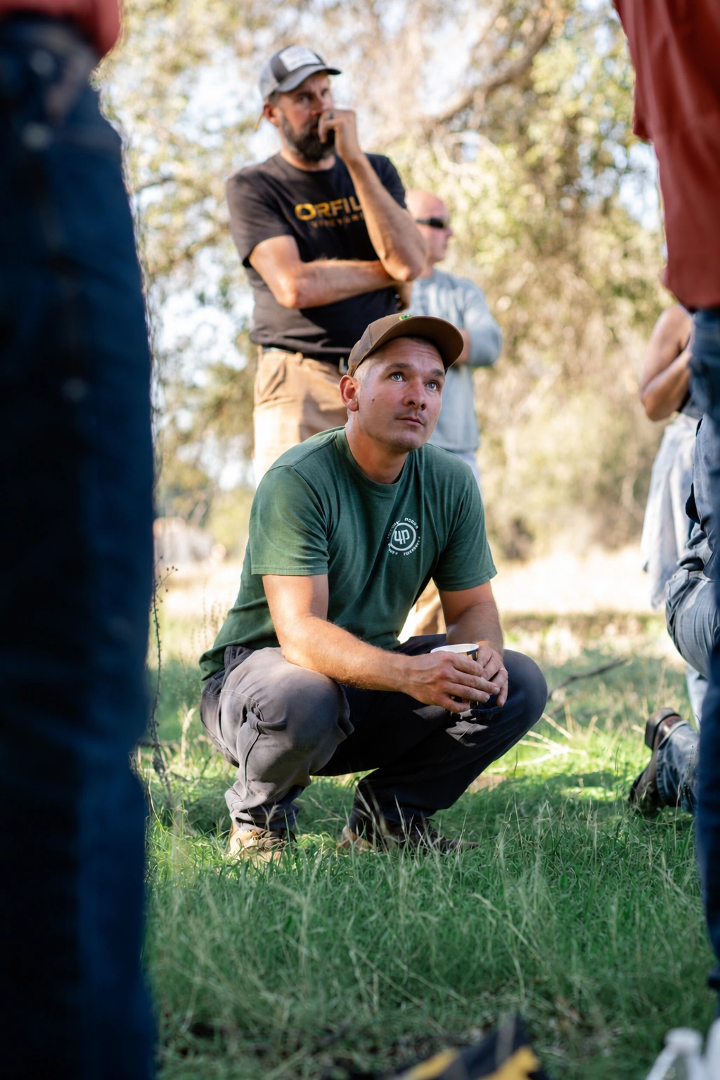
Deon has practiced adaptive grazing management since 2018, with experience in South Africa, Virginia, South Texas and Southern California. He brings hands-on livestock management and a site-specific approach to each grazing plan.
We work with you to define goals and implement solutions to achieve them.